3D neighborhood visualizations are becoming increasingly popular in the real estate industry, allowing real estate developers and architects to present their projects in an extremely realistic way.
In cities like Warsaw, where the real estate market is booming, 3D visualizations are a key element in effectively promoting new property investments. They enable future residents to see their future homes and neighborhoods in intricate detail, making the decision to purchase much easier.
In this post, we showcase 3D neighborhood visualizations completed in Warsaw.
How does a neighborhood visualization influence purchasing decisions?
It’s not just about a pretty picture. It’s about emotions.
A neighborhood visualization allows the buyer to “step into” the future space, feel the atmosphere of the investment, imagine morning coffee on the balcony or children playing in the playground.
These aren’t just pixels – it’s a sales tool that works better than brochures and catalogs. A well-crafted architectural rendering can shorten the sales cycle of apartments by up to 40%.
Neighborhood visualization = time savings for the sales team
Tired of answering the same client questions?
- “What will the neighborhood look like from the south side?”
- “Where exactly will the parking be?”
- “Will there be a lot of greenery?”
A well-done 3D visualization solves this for you.
Instead of explaining – you show.
Instead of describing – the client sees it themselves.
The result? Fewer misunderstandings, fewer questions, faster purchasing decisions, and greater trust in the real estate developer’s brand.
3D Visualizations of Housing Estates in Warsaw
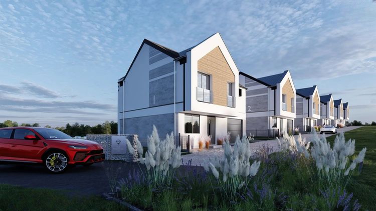
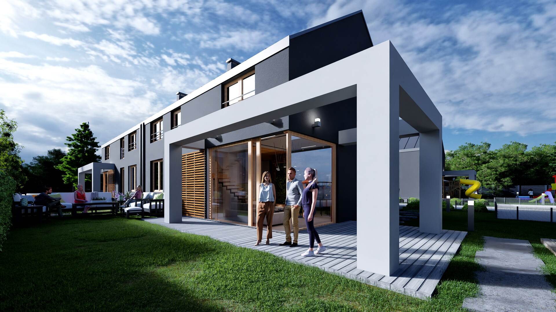
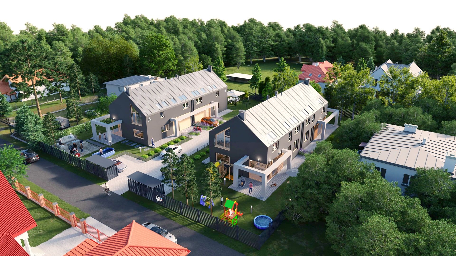
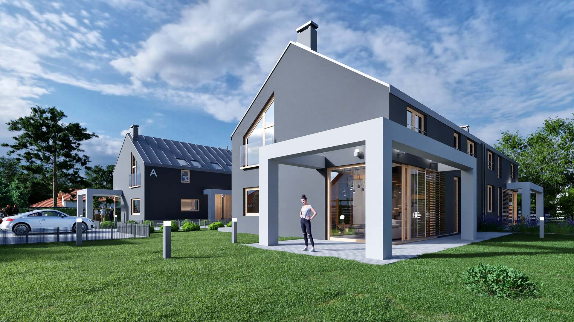
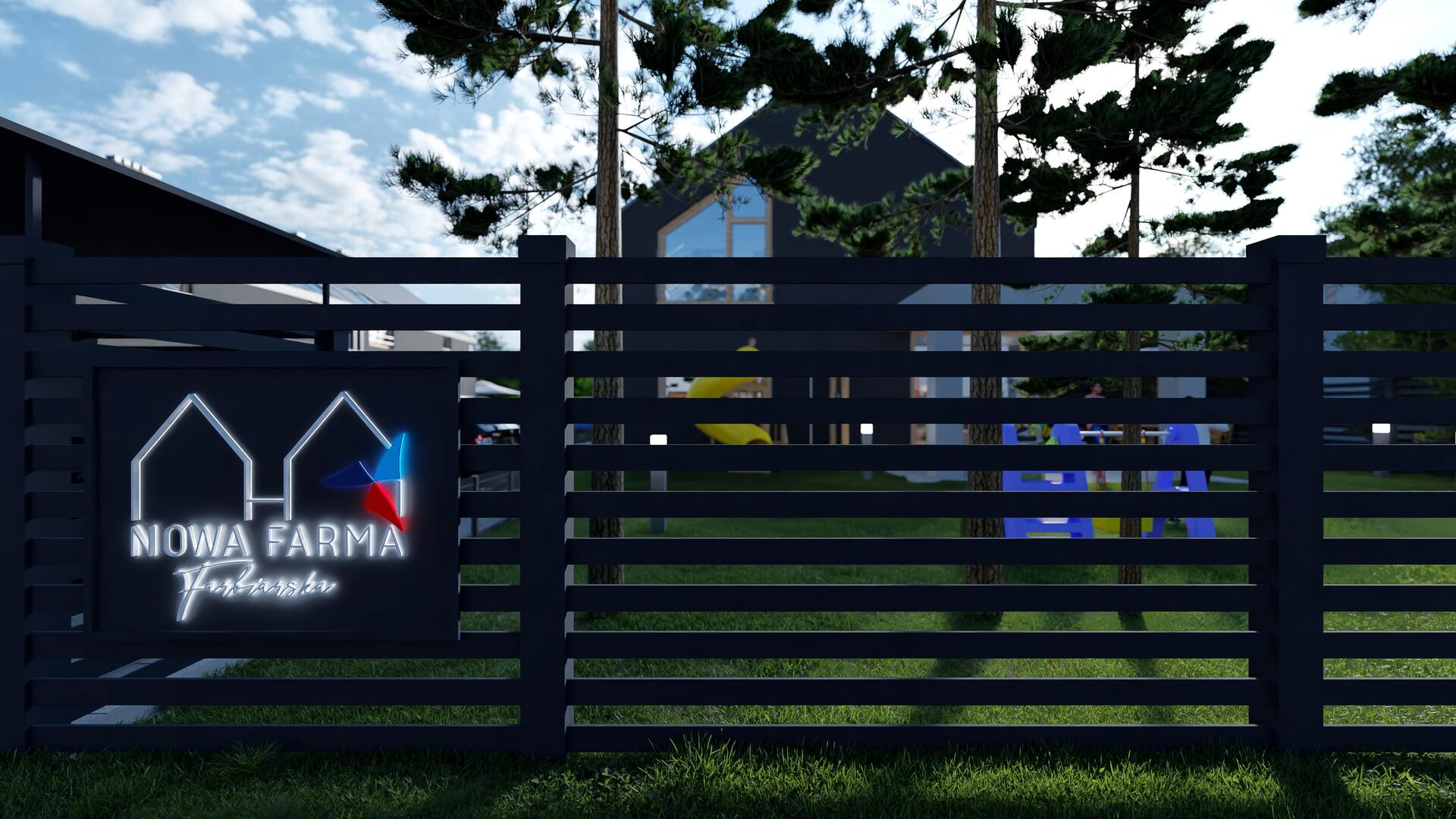
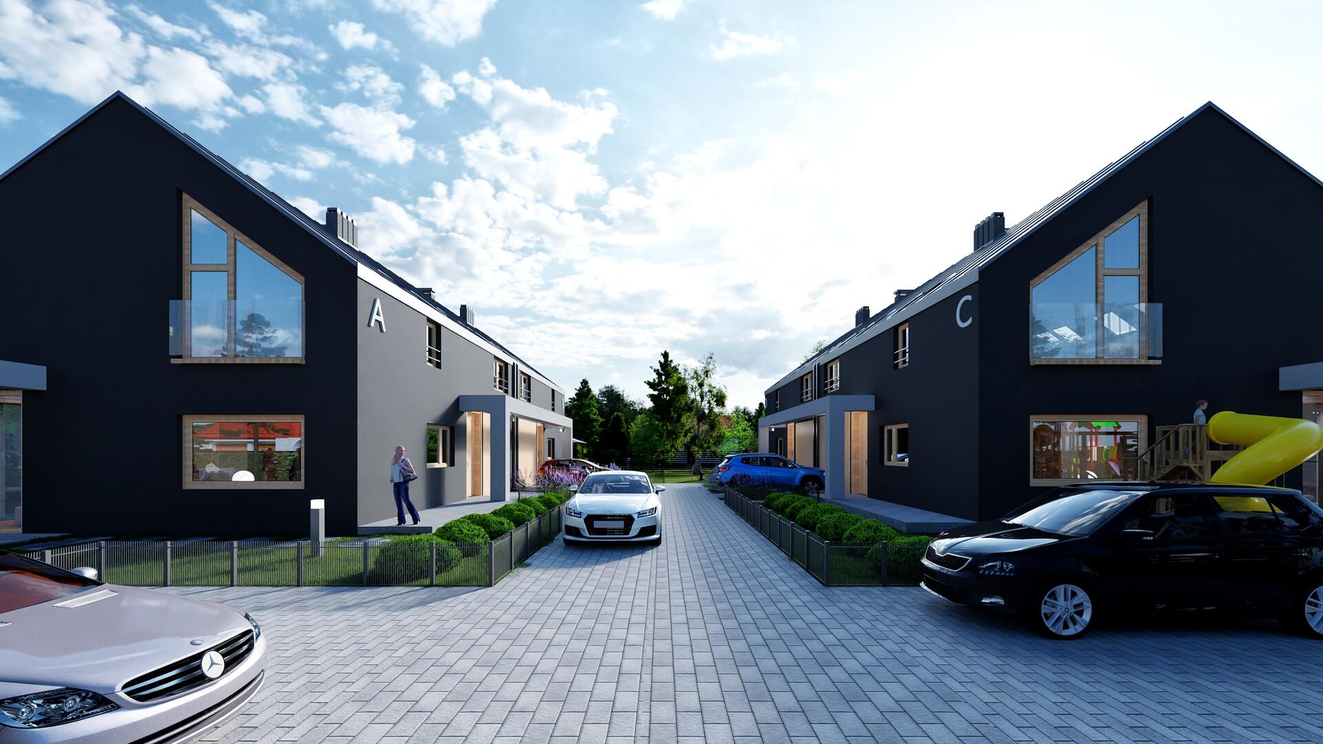
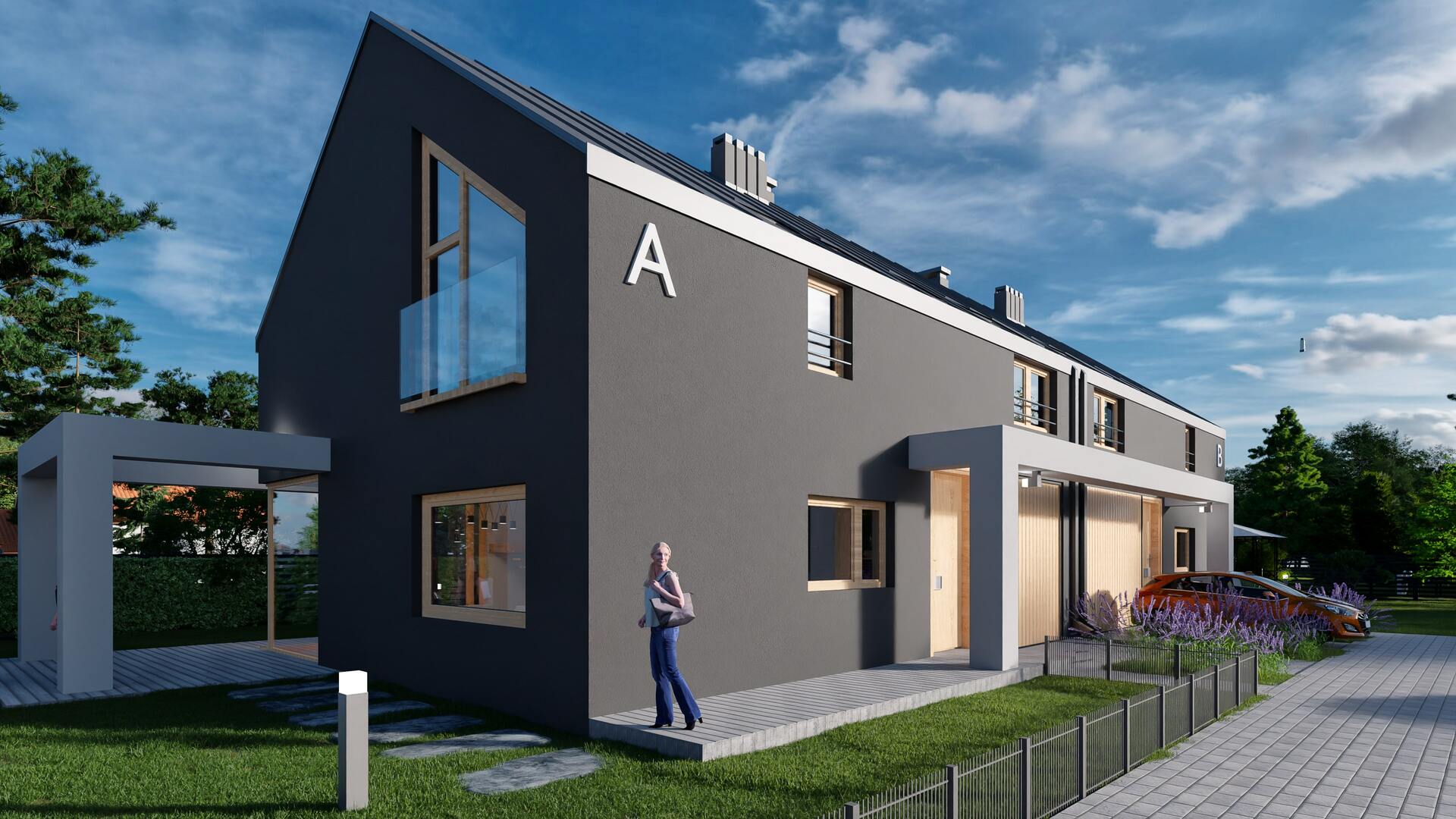
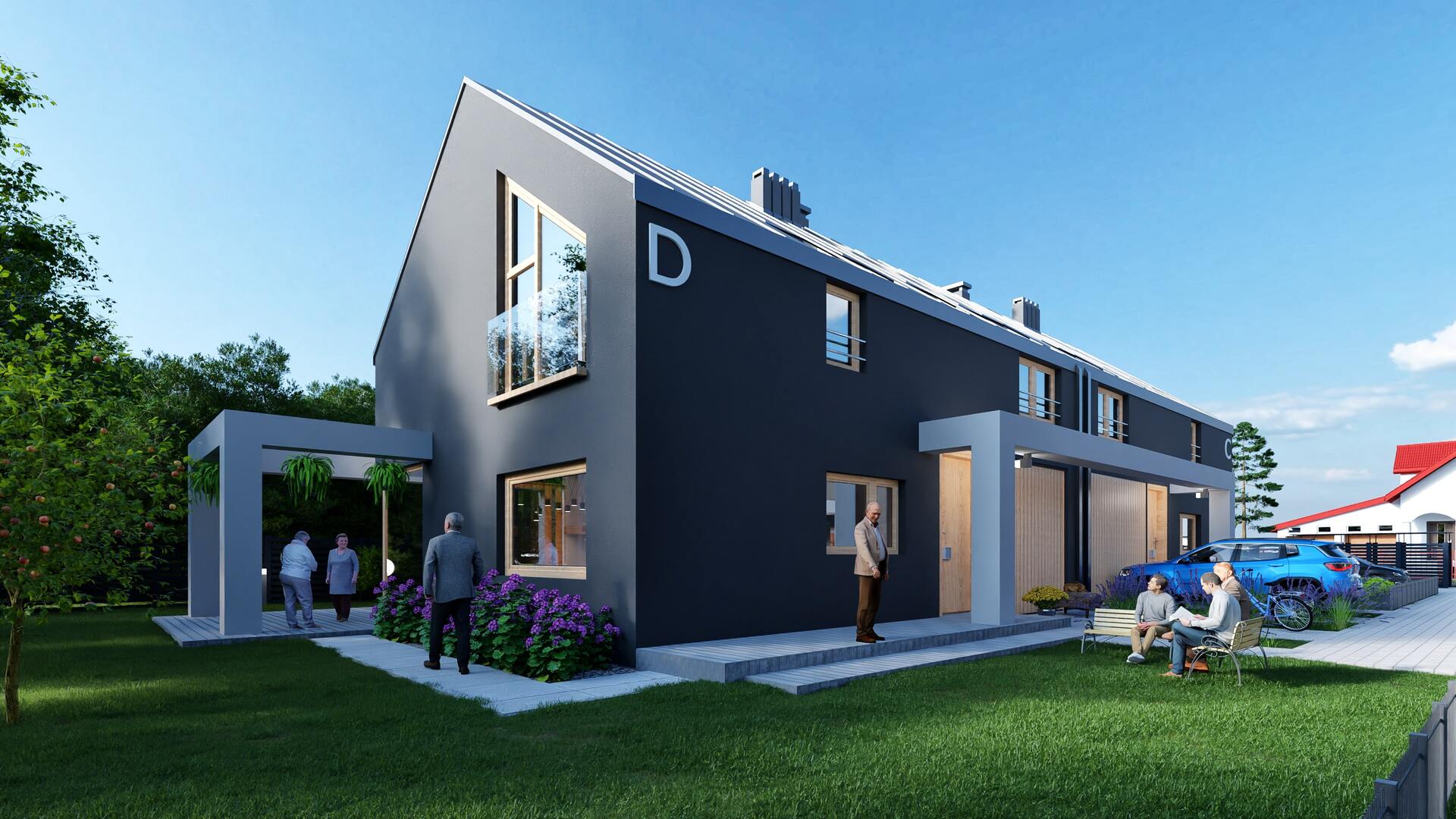
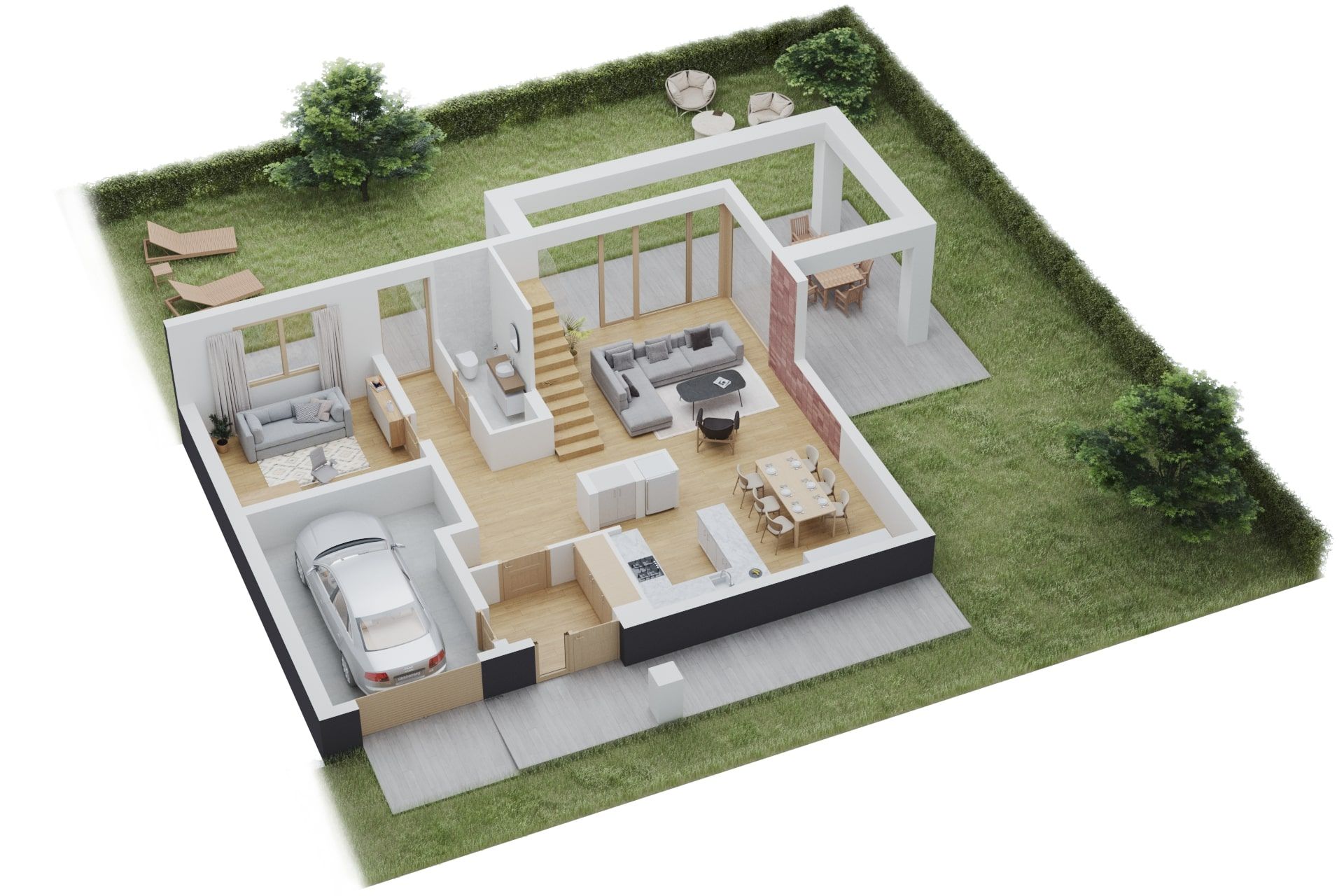
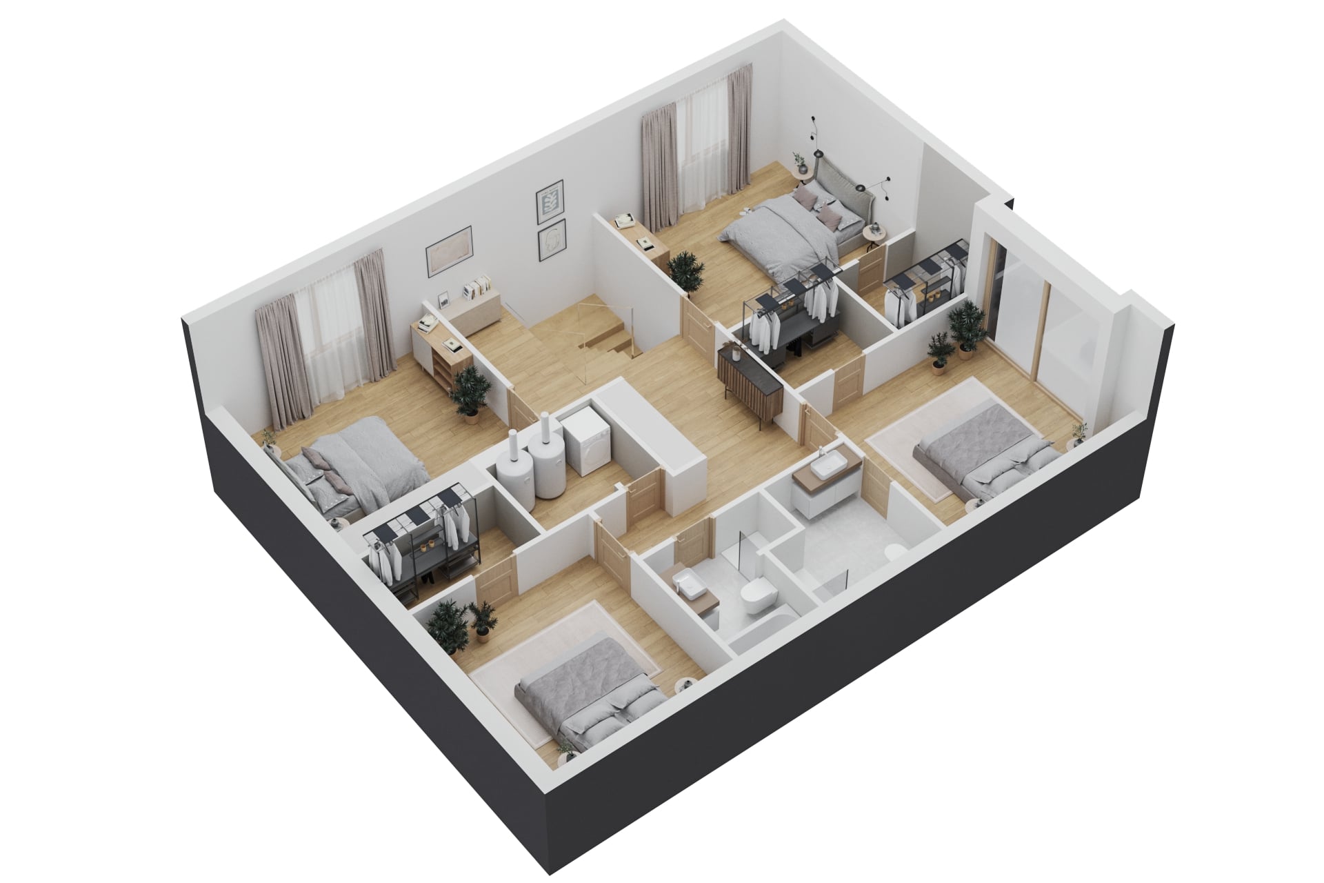
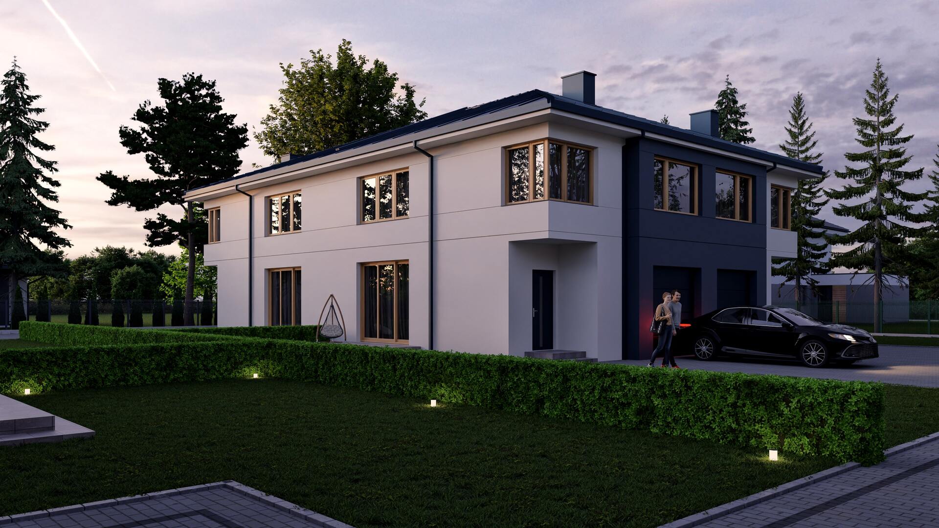
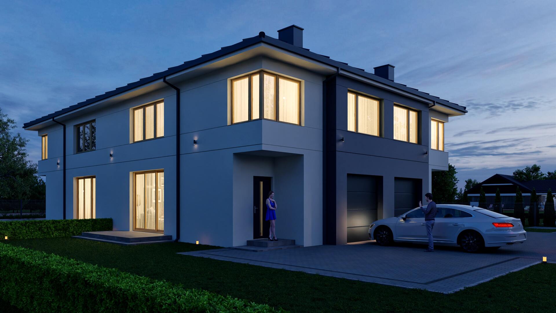
Nowa-Farma Estate: Farbiarska Street, Warsaw
3D visualizations of the estate:
3D floor plans of the units:
3D Visualizations of Interiors - Bedroom:

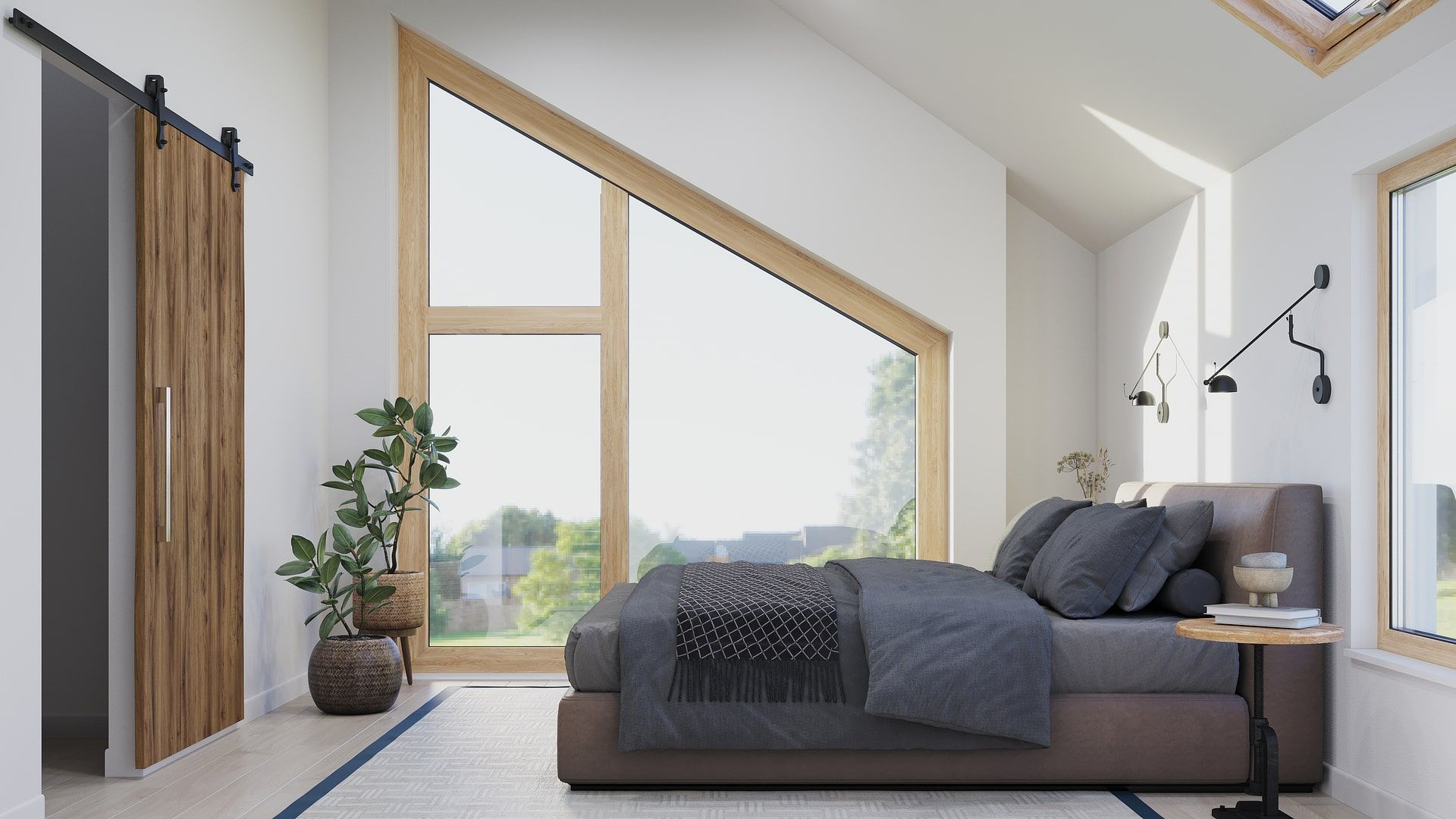
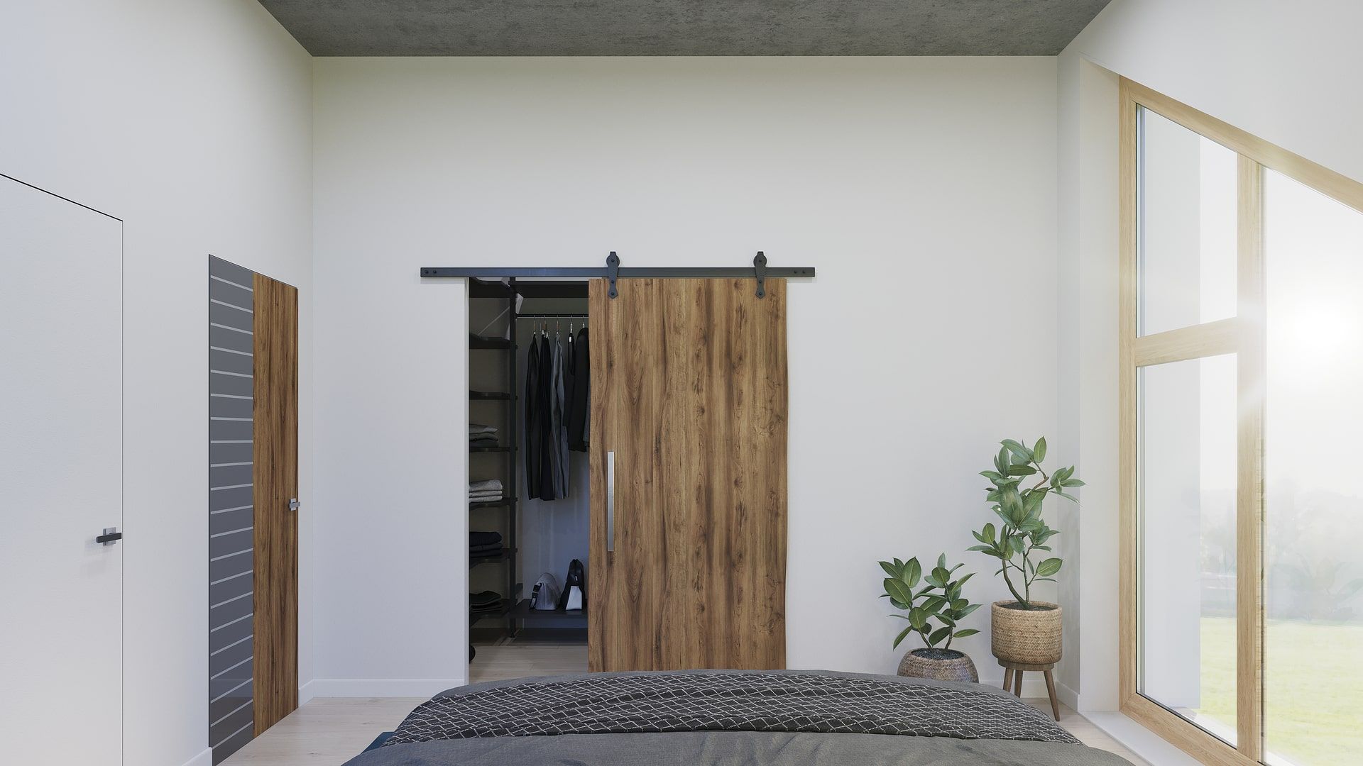
3D visualizations completed in 2021 for KDM Nieruchomości Sp. z.o.o from Warsaw, Poland.
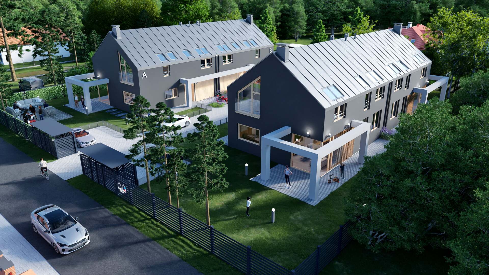
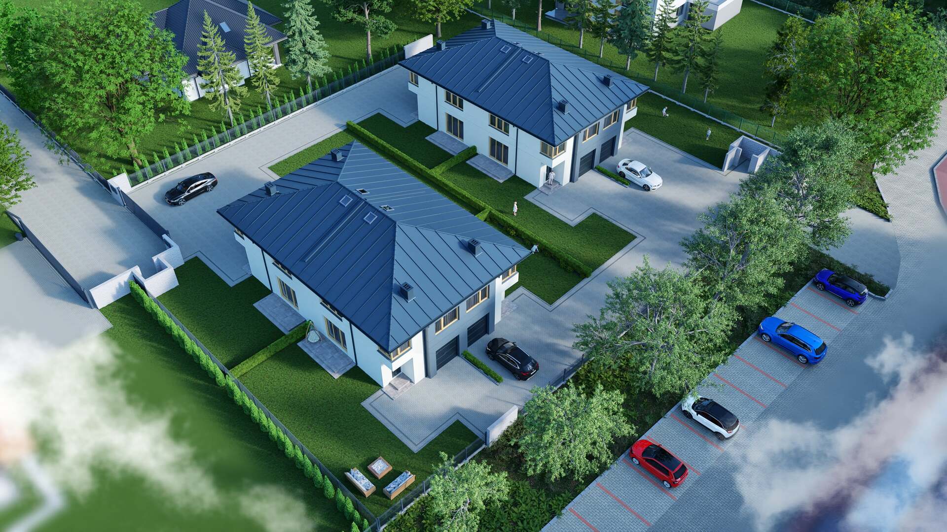
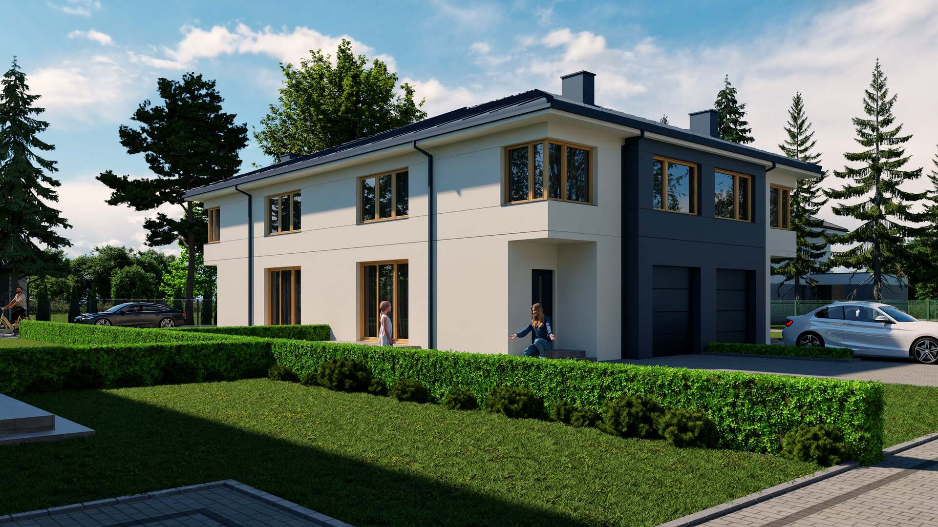
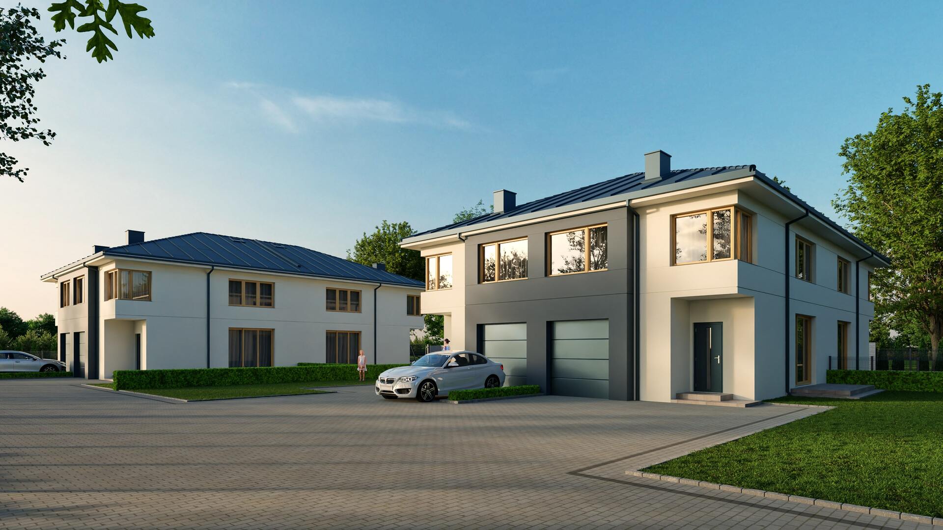
3D visualizations of the housing estate near Warsaw - Grodzisk Mazowiecki
Housing estate on 3 Maja Street, Grodzisk Mazowiecki
3D visualizations of the estate:
Why is neighborhood visualization a must-have for every real estate developer?
Remember the times when investors only showed 2D mock-ups? Today, that’s not enough. Buyers want to “see it before they buy.”
Neighborhood visualization gives them exactly that.
Instead of guessing what their future home will look like – they see the finished effect.
This not only increases conversion, but also:
- Speeds up purchasing decisions
- Reduces the number of questions and doubts
- Helps stand out from the competition
What does the process of creating a 3D neighborhood visualization look like?
There’s no guesswork here. A good neighborhood visualization starts with specifics:
Gathering documentation – plans, floor plans, investment assumptions
3D modeling – buildings, green areas, infrastructure
Lighting and environment – mood, time of day, weather effects
Rendering and post-production – where the magic happens
At each stage, the client can stay updated – they see the progress and give feedback.
What to avoid when creating a neighborhood visualization?
The most common mistakes we see:
Flat, artificial colors (2006 Photoshop effect)
No context – the neighborhood appears in the middle of a desert
No people, cars, or life – looks like a ghost town
A good property investment visualization should look like a photo from the future. Realistic, polished, and full of life.
Summary
Using 3D visualizations in presenting new residential neighborhoods, like those in Warsaw, is the key to success in today’s competitive real estate market.
Thanks to realistic visuals, future residents can better imagine their new homes, which increases their interest and simplifies the purchase decision.
Investors and real estate developers who use this technology gain an advantage and can present their property investments more effectively.
Need a 3D neighborhood visualization?
Check out our full offer for neighborhood visualizations and interior visualizations.
FAQ – most common questions about neighborhood visualizations
What exactly is a neighborhood visualization?
It’s a realistic 3D graphic that shows what the planned residential development will look like before it’s built.